


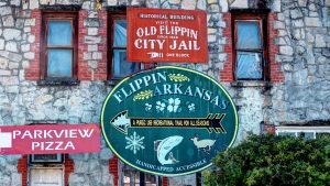
Welcome to Bull Shoals Lake
Come visit the South Shore of Bull Shoals Lake in the beautiful Arkansas Ozark Mountains!
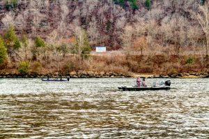
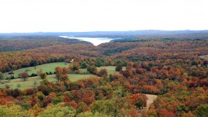
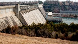
Our region lies along the southern shore of Bull Shoals Lake. Arkansas’ largest lake covers over 70,000 acres and has over 1,000 miles of shoreline. The lake was formed in the early 1950's when massive Bull Shoals Dam was built to help control White River basin flooding and to generate electricity.
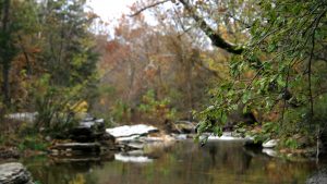
Outdoor adventurists, water enthusiasts, and casual vacationists looking to soak in the quiet, unrestricted nature will find what they're looking for in the South Shore region. Aquaholics enjoy the clean, open lake for swimming, skiing, and boating. Anglers relish the lake's abundance of bass, catfish, crappie, and bream. The world-famous White River also runs through the area, drawing anglers for its trophy trout.
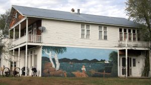
Communities


Looking to relocate?
Communities of the southern shore of Bull Shoals Lake, Arkansas - a great place to visit, a better place to live!
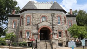
More About South Shore
The U.S. Army Corps of Engineers maintains numerous parks, campgrounds, and boat launch ramps along the lake shore. Campers, fishermen, and families appreciate the excellent facilities of the Bull Shoals-White River State Park and the James A. Gaston Visitor's Center overlooking the dam, the lake, and river.
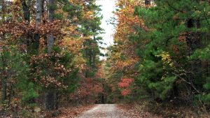
The Fred Berry Conservation Education Center is located on Crooked Creek, near Yellville. The Buffalo National River (America’s first national river) and park lie in the southern portion of the region and is popular for canoeing, camping, trail rides, and hiking trails. Just to the north is Branson, Missouri, America's family entertainment capital.
Attractions throughout the region are natural - the scenic land, clean air, pure waters, and friendly people. Amenities in the area rival those of urban areas, including our beautiful resorts and accommodations, as well as 1Gbps Fiber-to-the-Home Internet provided by Northern Arkansas Telephone Company (NATCO).
When you get here, enjoy the area, learn about our history, and stay for a visit or for a lifetime.